
Parkdale
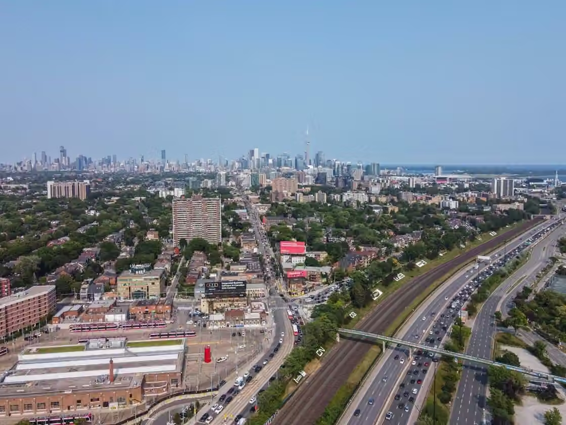
Queen Street mixes everyday services with restaurants and bars, while nearby blocks reveal very different scales of housing. Its social and cultural life is broader than the part encountered on an evening out.
Spending time here
For a first walk, follow Queen west from Dufferin, then choose a short residential detour. The change from commercial frontage to apartments and older houses makes the district’s housing history visible. A meal can anchor the evening, but leave some time to understand the street rather than arriving only at the chosen door.
Parkdale works well when the meal is the main reason for going and the rest of the evening stays flexible. The commercial street supports different budgets and kinds of outings, while the residential blocks make clear that this is a neighbourhood with a life beyond its destination businesses. Its distinctive atmosphere comes from those activities sharing the same small area, with community organizations playing a visible part in how it changes.
A town before Toronto
Parkdale was proclaimed a village in 1879, became a town in 1886 and was annexed to Toronto in 1889. Those dates help explain why it still feels like a district with its own centre. Queen Street operated as a main thoroughfare, while its position near the lake helped distinguish it from the expanding city to the east.
The municipality was a recent layer on land used by Indigenous peoples long before colonial grants and subdivision. The Parkdale BIA’s historical account traces nineteenth-century ownership and development, including the land grant to James Brock. Walking here, the mix of substantial houses and smaller commercial buildings gives an indication of how varied the district’s early development became.
A changed relationship with the lake
The waterfront is geographically close but can feel separated from daily life in Parkdale. The construction of the Gardiner Expressway and changes to Lake Shore Boulevard in the 1950s altered the southern neighbourhood and removed Sunnyside’s amusement park. Rail and road infrastructure created a substantial barrier between residential streets and the shore.
The Parkdale Residents Association’s waterfront account treats that separation as an ongoing planning issue. It is useful context for visitors: a lake walk can be part of a visit, but the route requires deliberate crossings rather than a casual continuation of every southbound street. The contrast between the lakeside setting and the infrastructure at its edge is part of Parkdale’s twentieth-century story.
Housing, migration and community
Large houses divided into smaller units, rooming houses and apartment buildings made Parkdale a place where many newcomers could find accommodation. The 2024 Parkdale Community Planning Study describes the importance of relatively accessible housing to residents with low incomes and to people leaving psychiatric institutions. This history is central to the neighbourhood’s identity, rather than an inconvenient footnote to its older buildings.
Tibetan settlement, especially from the 1990s onward, helped establish the area widely known as Little Tibet. The Ward Museum’s oral-history work records how businesses and community activities supported belonging across generations. Parkdale also contains many other diasporic histories. A food-oriented visit can offer an introduction, but no single menu or storefront stands in for the whole neighbourhood.
The community planning study documents pressure on affordability and community-led responses. These efforts matter to the present character of the area: neighbourhood organizations are active participants in shaping change. Avoid reading new investment as an automatic improvement for everyone, or treating the remaining inexpensive places as simply an aesthetic attraction.
Sources & further reading
Researched from the sources below. The description of the neighbourhood’s character is SceneTO’s editorial interpretation.
Parkdale Village BIA: history ↗Parkdale Residents Association: waterfront history ↗Parkdale People’s Economy: 2024 Community Planning Study ↗The Ward Museum: Tenzin Wangmo and Little Tibet ↗Keep exploring
All neighbourhoods ↗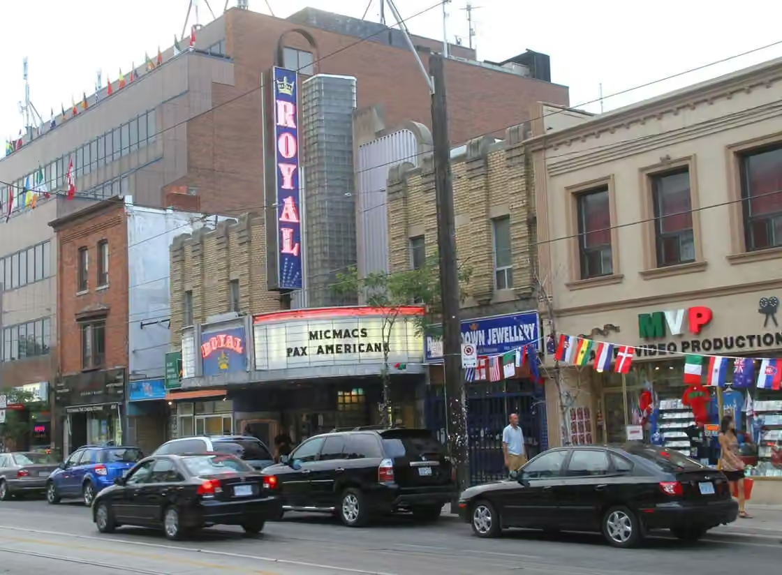 West Toronto
Little Italy
A broad restaurant street with patios and evening activity, surrounded by quieter residential blocks. It suits dinner followed by a short walk, with enough variety to avoid committing the whole night to one venue.
 West Toronto
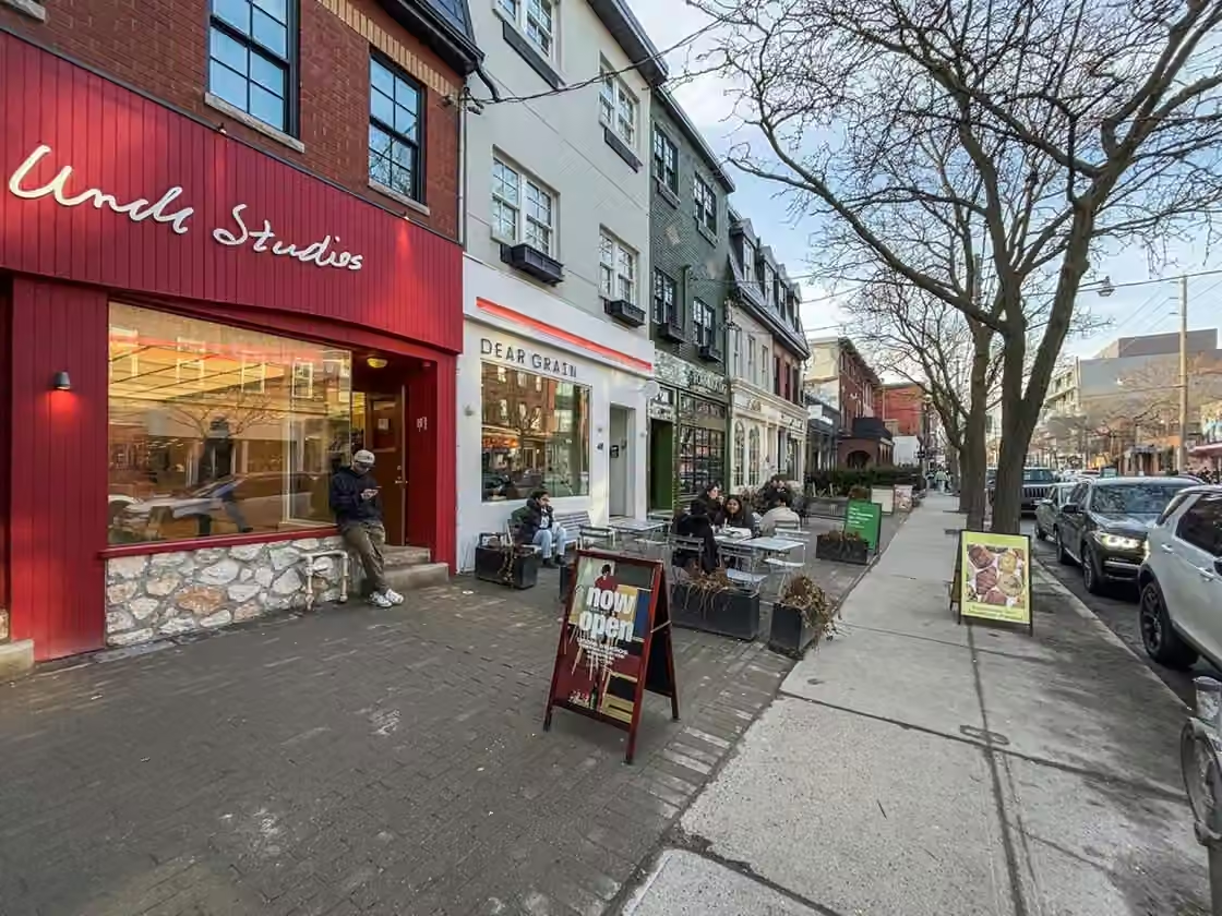
Ossington
Concentrated and sociable, especially in the evening, with restaurants close enough to combine with a drink and a walk. The residential streets immediately alongside it have a much quieter rhythm.
 West Toronto
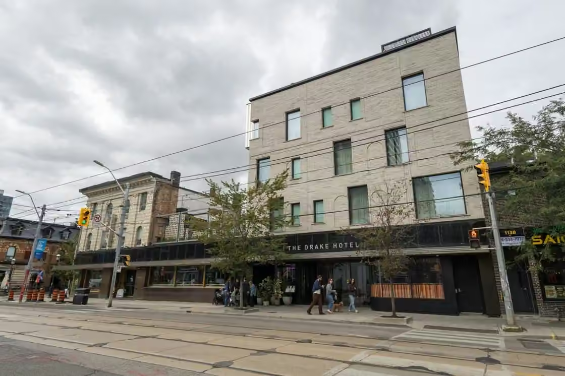
West Queen West
A long, varied stretch for browsing and going out, with the park providing a pause between commercial blocks. It works best when you choose a smaller cluster rather than trying to cover the whole street in one evening.