
Leslieville
Queen East is suited to a slow afternoon that can extend into dinner. The residential streets and former industrial blocks give it more variation than a single restaurant strip suggests.
Spending time here
The area’s image as a place for cafés and independent shopping sits on top of a former industrial landscape. Queen remains a functioning main street, with ordinary errands taking place alongside destination visits. On a walk, look above the current signs and towards the side streets: the older building fronts and closely spaced houses often reveal more of the neighbourhood’s development than the newest shop interior does.
A useful visit leaves time for both parts of Leslieville. Follow Queen for its shops and food, then take a short detour towards Carlaw or the residential streets before settling on an evening stop. The City’s heritage work has focused on the Queen stretch between the railway near De Grassi and Leslie Street, though everyday uses of the name extend beyond a single study boundary. Riverside lies to the west and has its own history; the two districts connect easily on foot, but choosing a venue in one does not make every venue in the other a short walk.
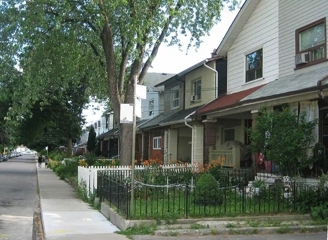
The older housing also gives the walk a slower rhythm. Small front gardens, porches and repeated building lines put domestic life close to the pavement. That scale is an important part of the district’s character, and remains visible even where individual houses have been substantially altered or renovated.
A village that supplied the city
Leslieville’s early economy was closely connected to Toronto’s growth. George Leslie’s nursery helped give the village its name, while local gardens supplied food to the city. Queen Street East formed part of the road towards Kingston and Montreal. During the nineteenth century, the route drew travellers who needed accommodation and services, as well as farmers and traders moving goods towards Toronto.
The ground itself became a source of employment. Clay deposits supported brickmaking, while butchering and related trades developed near the approaches to Ashbridge’s Bay. Nurseries, slaughterhouses and brickyards were major employers before the area joined Toronto in 1884. These were practical industries that helped feed and build the expanding city. Their workers needed housing close to work, helping establish the compact residential pattern behind Queen.
Streetcars and factory blocks
The City’s heritage study identifies a major phase of development after annexation. Better transport and municipal services made subdivisions on either side of Queen easier to build and inhabit. The commercial strip took shape as the everyday centre of a streetcar suburb. Much of its character still comes from narrow premises, modest building heights and the proximity of housing to shops.
Industrial development also left larger structures away from the shopfronts. The Wrigley factory on Carlaw, built in 1916, belongs to that manufacturing history. The contrast between substantial factory buildings and small houses is useful to notice when walking north of Queen. It explains why the neighbourhood can change scale within a few minutes. Later conversions have changed what happens inside some of those buildings without entirely removing the industrial form.
Sources & further reading
Researched from the sources below. The description of the neighbourhood’s character is SceneTO’s editorial interpretation.
Visit Leslieville: history by Joanne Doucette ↗City of Toronto: Queen Street East heritage research ↗Leslieville Historical Society: timeline ↗Keep exploring
All neighbourhoods ↗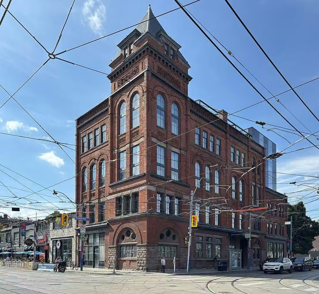 East Toronto
Riverside
A compact stretch for dinner and a show, with the Opera House giving the evening a clear centre. Queen Street stays busy while the residential streets behind it are much quieter.
 East Toronto
The Danforth
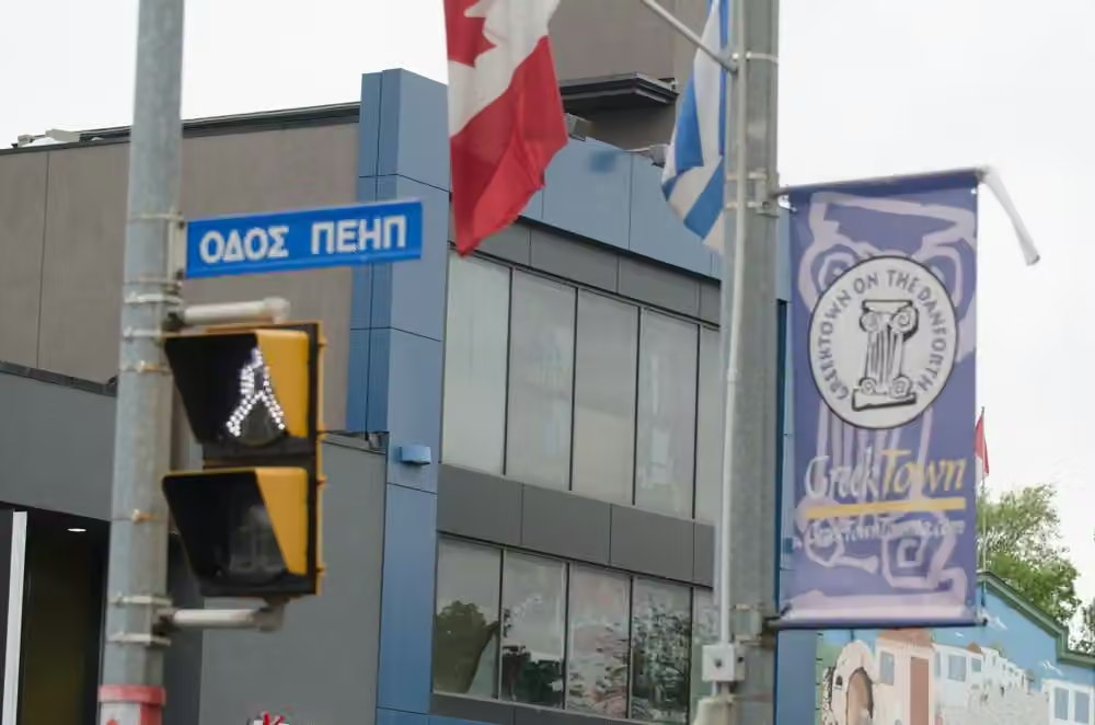
A good district for an unhurried meal before live music. The long avenue changes as you move east, so choose a particular stretch instead of treating the whole Danforth as one destination.